|
|
Broad Ripple History


Pictures, Stories, Maps, and more
Brought to you by Broad Ripple Publishing
|
|
White River
The White River makes an ox bow on the north side of Indianapolis. The early settlers said there were "broad ripples" in this section of the river. This spot was chosen to dam to create the Central Canal in 1822. |
||
|
Indianapolis North Flood Damage Protection Project
March 2003 |
||
|
Pumping Station before | ||
click images for larger photos | ||
levee before |
levee before |
pumping station before |
|
During | ||
click images for larger photos | ||
Levee during |
Levee during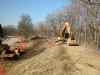 |
Greenway during |
|
White River and Broad Ripple Park Aerial 1925
|
||
click images for larger photos | ||
White River and Broad Ripple Park Aerial 1925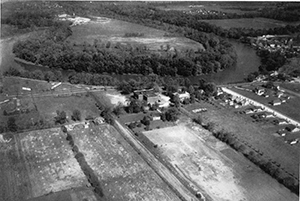 |
||
|
White River and Green City Boat Co Aerial 1949
|
||
click images for larger photos | ||
White River and Green City Boat Co Aerial 1949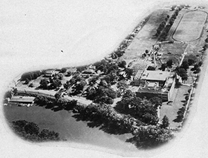 |
||
|
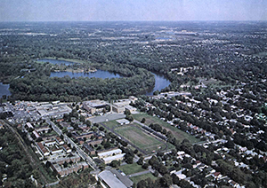
White River, Dawson Lake and Broad Ripple Aerial 1969
|
||
click images for larger photos | ||
 |
||
|
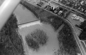
Broad Ripple dam on White River Aerial 1988
|
||
click images for larger photos | ||
 |
||
|
64th Street Bridge in Warfleigh (c. 1910)
|
||
click images for larger photos | ||
64th Street Bridge in Warfleigh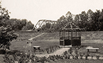 |
||
|
Westfield Boulevard Bridge
|
||
|
Old Westfield Bridge 1976 | ||
click images for larger photos | ||
1969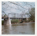 |
1976 |
1976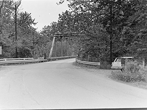 |
|
New Westfield Bridge | ||
click images for larger photos | ||
1978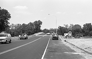 |
||